Three Anchors and a Cold Loop on the Boise Greenbelt
I took a desk-built planning method to an 11.4 mile loop on the Boise River Greenbelt. The anchors held. The small buffers did not.
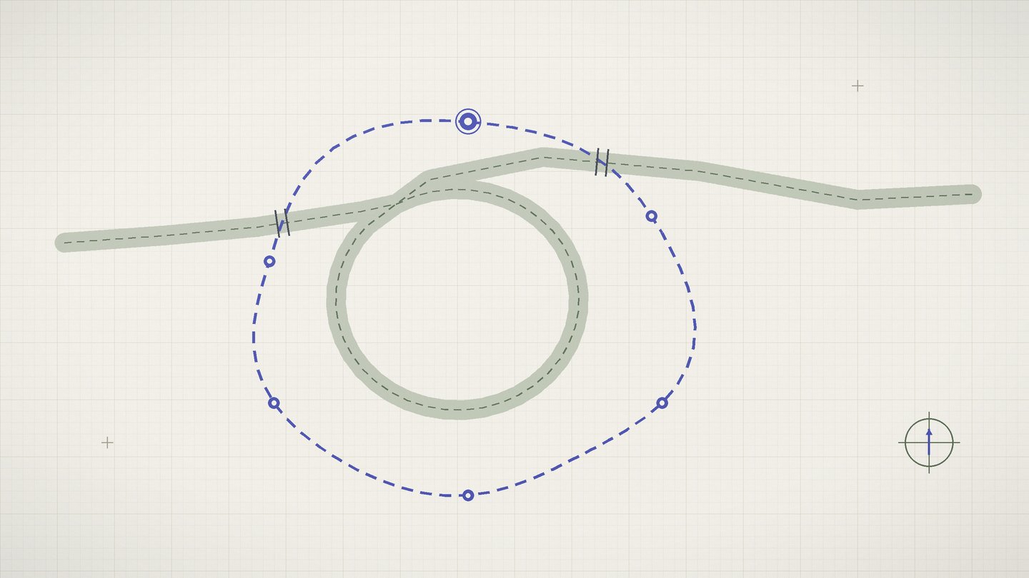
A trip plan usually fails in a quiet way. Nothing dramatic happens on the ground. The day just drifts, ten minutes at a time, until the schedule turns into fiction. For weeks I have been drafting a fix at my desk, a method I call two-pass planning. Pass one places anchors, the few commitments that will not move. Pass two fills the space between them with flexible segments and measured buffers.
Before that method earns a full write-up on the Workbench, it needed a field day where failure would cost nothing. I picked the Boise River Greenbelt, the path system that Boise Parks and Recreation manages along both banks of the river. It sits twenty minutes from my desk, it offers clear waypoints, and it closes no doors if the plan collapses. The route was a loop: Ann Morrison Park east to Barber Park on one bank, then back along the other.
I walked it on February 21, a cold and clear Saturday. This is the log of what the method did well, where it stumbled, and what has to change before it goes on the bench.
One pass for anchors, one for gaps
Pass one is short on purpose, because that is the whole point of it. I allow a day no more than three anchors, each one a place and a clock time joined together. For this loop I set three: leave Ann Morrison Park at 8:10 am, rest at Barber Park at 11:30 am, and stand at my downtown marker no later than 3:30 pm. An anchor does not move, and everything else bends around it.
Pass two treats each stretch between anchors as a gap. I measured the five gaps on a printed map, estimated minutes at three miles per hour, then added a buffer of fifteen percent, rounded to the nearest five minutes. The pool came to 55 minutes across the day. Two spending rules govern the pool. A buffer belongs to its own gap first, and any unspent minutes bank forward to the next gap. That is the entire method. The bet is that three fixed points and honest padding will beat a timeline of fourteen optimistic entries.
Field notes from the loop
I crossed the start line at 8:08 am with the thermometer reading 28 degrees. Frost coated the first footbridge deck, so I slowed down and gave the crossing an extra minute. The first gap ran 2.3 miles along the south bank, planned at 46 minutes with a 7 minute buffer. I finished it in 49 minutes and banked 4.
The most noticeable effect showed up early, and it was not about time at all. Side paths and river overlooks kept appearing, and on an unplanned walk each one becomes a small negotiation. With an anchor ahead, the negotiation never opened. The plan answered questions before I could ask them. I logged only four stop-and-decide moments across the whole day, against roughly a dozen on comparable walks, though that older number comes from memory rather than a log.
The east end brought the day's real test. A posted seasonal wildlife closure blocked the south bank approach to Barber Park, with a signed detour swinging out to a street route. The detour added 0.4 miles and 14 minutes. It consumed that gap's entire buffer, the banked minutes behind it, and then asked for more. I paid the difference out of the whole-day slack and kept walking.
I reached Barber Park at 11:08 am, which sounds like a win until you stand in it. The anchor said 11:30, so I spent 22 minutes waiting in the cold beside a picnic shelter. The return bank went slower than the map promised. A long gravel stretch and a steady headwind cut my pace from 3.1 miles per hour to about 2.6, and every second-half estimate ran hot because of it. I passed the downtown marker at 2:51 pm, 39 minutes ahead of the final anchor.
Where the method stumbled
The first flaw is that my anchors were instants when they should have been windows. Arriving at Barber Park 22 minutes early counted as success on paper, and my cold hands filed a dissent. An anchor needs an acceptable range, something like 11:20 to 11:40, so that earliness is comfort instead of penalty.
The second flaw is that percentage buffers collapse on short gaps. One 25 minute segment earned a 4 minute buffer, rounded up to 5. A photo stop and a bootlace erased it before the segment was half done. A percentage needs a floor underneath it, and 5 minutes is not that floor.
The third flaw is the constant pace assumption baked into pass two. I estimated every gap at the same three miles per hour, and the surface on the return bank disagreed by 18 percent. The map showed distance but said nothing about gravel, wind, or a path that stops being flat.
The last flaw is silence. When the closure erased a full buffer plus the bank, the method had no rule for borrowing from future gaps. I invented one on the spot, which is a polite way of saying the method left me alone at the exact moment it existed to help.
What the timing sheet shows
The raw numbers from the log, planned against actual:
- Distance: 11.0 miles planned, 11.4 measured after the detour
- Moving time: 3 hours 50 minutes planned, 4 hours 19 minutes actual
- Full day, start to final anchor: 6 hours 20 minutes planned, 6 hours 43 minutes actual
- Buffer pool: 55 minutes planned, 78 minutes consumed, deficit of 23 covered by whole-day slack
- Anchors met: 3 of 3, one of them 22 minutes too well
- Pace: 3.1 miles per hour on the south bank, 2.6 on the return
- Stop-and-decide moments: 4 logged for the day
Read one way, the sheet shows a plan that failed its own arithmetic by 23 minutes. Read another way, it shows a day that hit every fixed commitment with margin left over. Both readings are true, and the difference between them is exactly what the buffers were for.
The verdict
Two-pass planning survived its first field day, and it limped at the finish. The anchor idea earned its place: three fixed points removed most of the small negotiations that usually erode a day, and all three were met. The buffer math did not earn its place. Percentages starve short segments, flat pace estimates ignore the ground, and the pool has no borrowing rule when one closure eats a whole gap.
Two changes go in before this method gets a bench write-up. Every buffer receives a 10 minute floor regardless of segment length, and every anchor becomes a window instead of an instant. The caveats are real: this was one person, one cold Saturday, and one forgiving city loop with no transit legs and no companions to coordinate. The Greenbelt gave the method a fair hearing, not a final ruling. The harder trial comes when a plan like this meets a day that does not forgive.
What was checked
- Boise Parks and Recreation public pages on the Boise River Greenbelt, accessed February 2026
- Posted signage and seasonal detour notices along the Greenbelt, recorded in my field log
- My timing sheet and field log from February 21, 2026